Featured

Welcome to MapShare

Welcome to MapShare!

MapShare is the site to come to for help planning your next trip. We will be posting maps of all sorts of interesting places around the world. You can copy any of our maps to your own account and then add or delete items as you like. Use our maps as a base for your travel planning and finish up with a custom map that you’ve catered to your own interests.  I hope you find these maps helpful and I hope they inspire you to explore new places.

We encourage you to travel to new places, meet new and different people and try out all sorts of food and experiences.

How to create your own custom map:

I’m a big fan of Google My Maps, which is where all the maps on this blog come from. You can create your own map by going here: https://www.google.com/mymaps. If you’d like to share your map on this blog, you can leave a comment to this post with a link to your map and I will add it in.  When setting up your map, make sure to go to the Legend on the left, click on “Share” and set it to “Anyone on the internet can find and view.” Otherwise nobody will able to see your map except you. If you want to set up a map with certain items that you don’t want made public, create a public map first, make a copy of it, set the copy to “Private” and then add in your private items (address of a friend’s house where you’ll be staying, for example).

If you like one of the maps you see here, but would like to add to it (or even take out things that don’t interest you), you can click in the right top corner to “View Larger Map”, then click on the legend on the left and copy the map. Once you make your own copy you can edit the map as you see fit.

You can also add new places to your map while traveling. In my experience, editing a Google Map on a mobile device is very awkward. An easier way is to save the location within the Google Maps app by pulling down the legend on the left side, going to “Your Places”, then “Saved” and then saving the location there either under “Favorites” or create a new category such as “Miami Beach”. When you get home you can add these locations to your map and then they’ll be there for when you go back.

How to use these maps offline:

The maps I am posting here can be copied and saved to your own Google account and then you can work on them there. I highly recommend using a desktop or laptop computer for this and not a smart phone. Once you have your map set up just the way you want it, the last thing you will want to do before heading off on your voyage is to download an offline version of your map to your phone or other portable device.

Here’s how to do this:

  1. Download to your phone an offline mapping app. If you have an Android phone get the app called Locus and if you have an iPhone the app you want is called Galileo.
  2. Then once you have this app, zoom in to the area where you will be traveling and download the street map for that area. You may need to download several maps depending on how much terrain you will be covering. Make sure you have all the maps you need before going away.
  3. Then access the online version of the map in your phone’s web browser (not in the Google Maps app). Open the map legend (the button to do this is on the left, near the top). In the upper right corner of the map legend, there are three vertical dots that open up to a menu. Open this menu and one of the selections is “export to KML/KMZ file”. Do that and then your phone will ask you if you want to open the file in Galileo/Locus. Yes, you do. It should load all the points on your custom map into your offline map. This is great because then the map will work even if you don’t have wifi, will use less battery power, will load faster and you won’t need to use your cellular data/international roaming data.
  4. Now you’re ready to travel with a custom map that has just the points of interest that actually interest you and will work anywhere (assuming your smart phone is GPS enabled, which most are).

Help with Mapping and Travel Planning:

Do you need help with your travel planning or creating a map? Send us an email to info(at)mapshare(dot)us and we’ll do our best to help you out. We’re particularly knowledgeable about traveling in France and in Quebec, but we can help you out with mapping any trip.

A Note About Sources:

I’ve compiled information on these maps from various sources, including, especially, my own experiences. Other sources of information include the New York Times, Michelin Guides, The Rough Guide, DK Eyewitness guides, Rick Steves, Let’s Go and various publications issued by regional tourism bureaus.

The phrase “Found on Map”, which you’ll see on various map entries, indicates a point that caught my interest while I was  zooming in and looking around on the map and I have no further information about it at this time.

I have made every effort to give credit where credit is due. In many cases I use abbreviations to indicate where I first learned of a point of interest. If you have a question about where certain information comes from please leave a comment and I’ll get back to you.
Loire Valley France Bike Trip

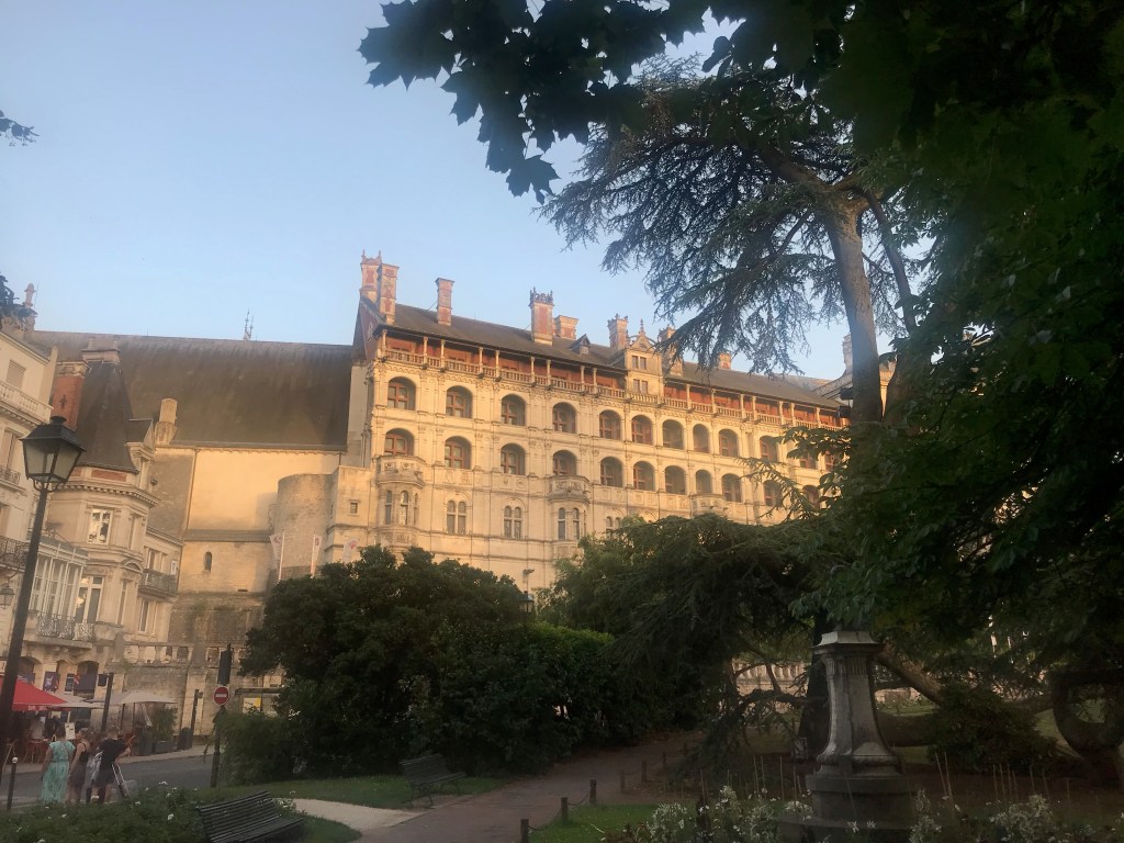
I was in France in June to do a bike tour of the Loire Valley. Due to Covid, this trip was rescheduled from 2020. We spent a few days in Paris, then took a train to Orleans on a Wednesday, spent the night in Orleans and started biking on Thursday. We spent each night in a different town along the way. Towns we stayed in include Beaugency, Blois, Amboise, Tours, Azay-le-Rideau, Chinon and Saumur. Our last night was in Angers and I took a high speed train from Angers the following morning direct to Charles de Gaulle airport outside of Paris. We passed through and stopped in a bunch of other towns along the way, visited castles and gardens, ate lots of pastry and drank lots of wine. Coteaux du Layon is a dessert wine that the Loire Valley region is known for and I had some after dinner every chance I got. We also passed through Vouvray, known for wines of the same name, and we stopped off at a cave for some wine tasting and a tour of the cave (nice and cool on a hot summer day!). We used CycleTours, a Dutch company, to book the trip. They took care of the hotels, bike rental and baggage transport and I highly recommend them.

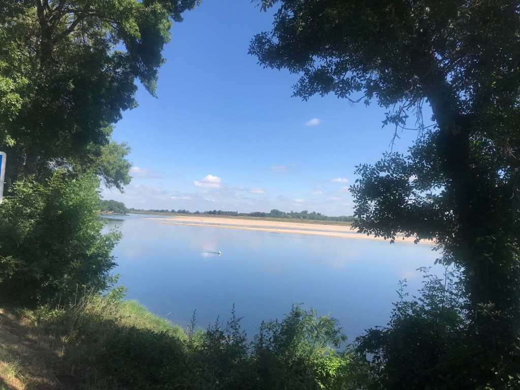
The Loire River

Quebec Bike Tour — Region around Quebec City

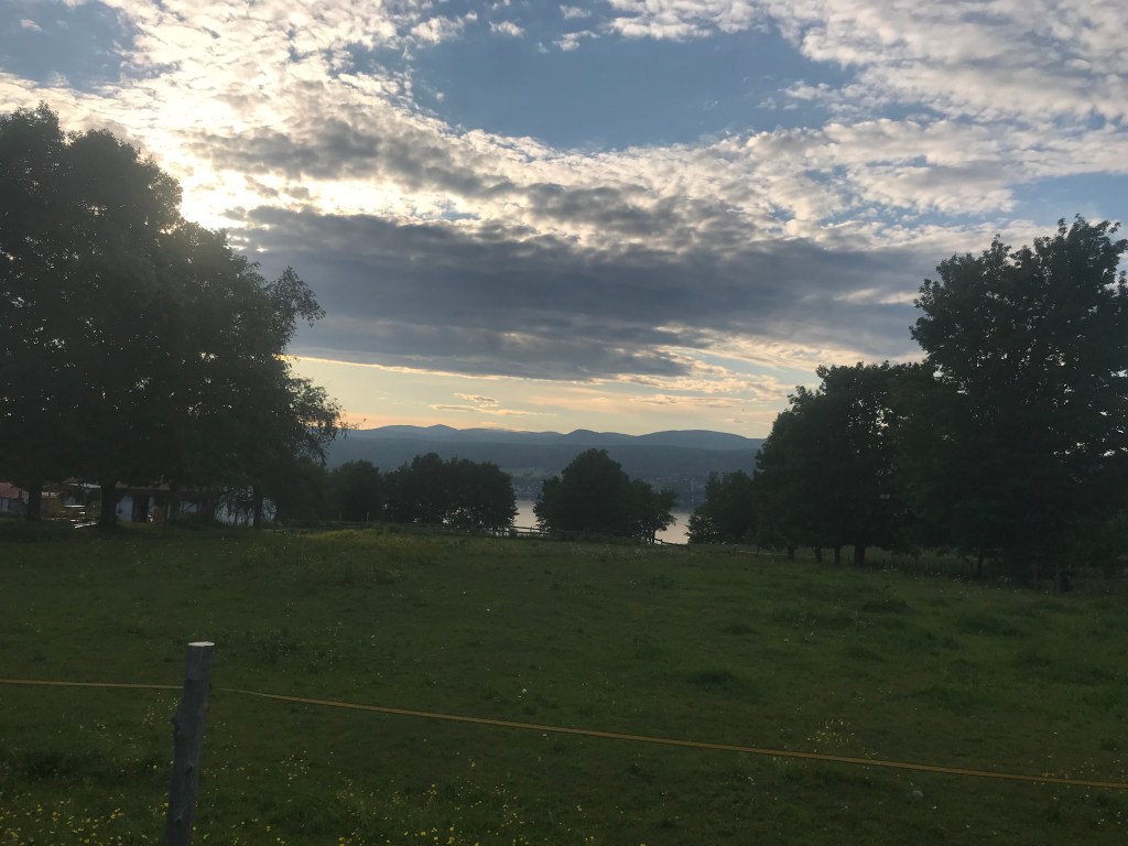
I was recently in Quebec for a bike tour of the region surrounding Quebec City. We drove up to Lévis, a town directly across the St Lawrence River from Quebec City, took a ferry over to Quebec City the next day and then on to Ile d’Orléans, where we spent one night. Later in the week we came back to Quebec City, spent two nights there and then explored the countryside west of the city. We crossed the Pont du Québec, bike around more countryside and then circled back to Lévis.


A beautiful sunset on Ile d’Orléans

Some Biking Routes north of Charlotte, NC

A few years ago I was biking in North Carolina, around the area north of Charlotte, on a pretty regular basis. Here are a few of my favorite bike routes in that area. Of them all, the area surrounding Lake Norman State Park is really beautiful. You can park in the park, bike around the area, bike up to the town of Statesville for lunch and then bike back to the park. For a really full day, there’s boat rental at the park too.

Davidson is also a really cute town. Home to Davidson College, it has lots of restaurants, cafes and ice cream shops, as well as a bike shop if you need one.


North Carolina State Parks

Greenways in Charlotte-Mecklenburg County


Portugal — Porto, Coimbra, Lisbon & Estoril

A friend and I are going to Portugal in February on an unbelievably inexpensive off-season deal. For less than $700 per person we get five nights in hotels, round trip flight from Newark to Lisbon and a small rental car. This package is being arranged by Gate1 Travel, a huge operator of guided and unguided tours. We’re going without a guide, so, of course, I’ve created a map to help us figure out where to go. I used the itinerary from Gate1’s website, some articles from the New York Times and some looking around on the map to create this map for us. We’re not going until February, so I will likely add more to the map before we go. Check back and then use this map for your own travels to Portugal.

New York Times 36 Hours Porto

New York Times 36 Hours Lisbon

Gate1 Travel

New York Times article on Bairrada wine

Mexico — Michoacan State and State of Mexico

A friend recently traveled to Mexico and really enjoyed her time there.

38476981_10104758568961564_1018588821807169536_n

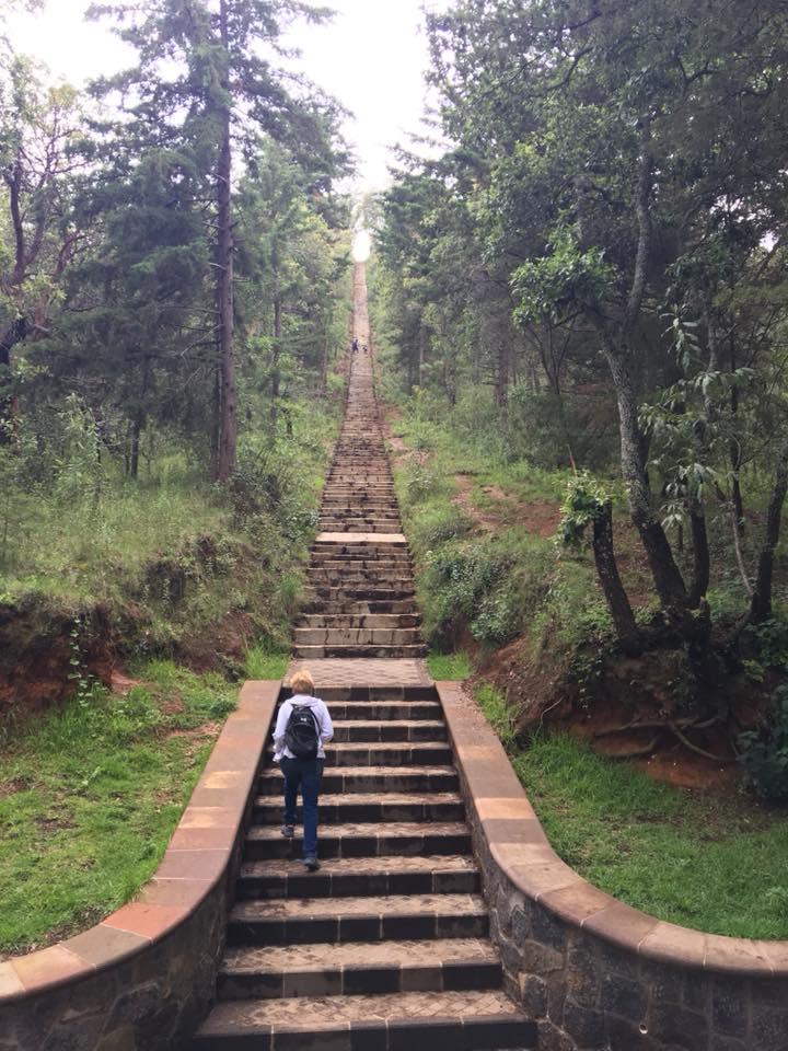
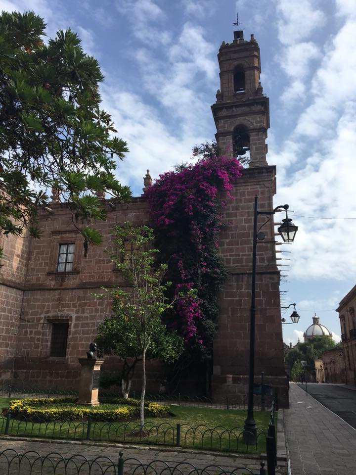
She flew into the city of Morelia from Dallas and then took a taxi to Patzcuaro, a smaller town on the lake of the same name. From there she was able to visit a few villages in the surrounding area.

She then made her way to Mexico City and San Juan Teotihuacan, which is about a half hour drive from Mexico City and is known for its Pyramid of the Sun and Pyramid of the Moon.

39057709_10104770237612494_1769150458615562240_n

You can use local buses to get from Patzcuaro to the other villages surrounding the lake and from Patzcuaro to Mexico City. My friend used Uber to get from Mexico City out to Teotihuacan.

The smaller towns and villages are quite safe, but do use caution in the bigger cities, just as you would in any big city.


Hiking, Biking, Kayaking in the Poconos — weekend trip from Philadelphia or New York

The Poconos is a good place to go for outdoor activities not too far from Philadelphia or New York. I’ve been meaning to hike the Pinchot trail. There’s a few different loops you can do there. I’ve marked the trailhead parking lot and you can go from there.

To make it a full weekend, why not do one day of hiking and a second day of biking or kayaking? There’s plenty of places to rent bikes and boats in the area. Have fun!


Pocono Mountains Tourist Information

Information on the Pinchot Trail

Information on Pinchot State Forest

Biking and Hiking in Norway, visits to Oslo and Bergen

A few weeks ago I took a biking and hiking trip in Norway. Before the biking/hiking portion of the trip, we spent a few days in Oslo. At the end of the trip, we made our way to Bergen, spent two nights there and then flew out of Bergen. For the biking/hiking portion of the trip we used my favorite outfitter for bike tours in Europe, a company called Blue Marble Travel, which is based in Paris. Blue Marble also took care of booking our hotel in Oslo, which was very well located. In Bergen, we stayed in private rooms in the YMCA, which was located right in the middle of town.

Norway has a lot to recommend. It is a beautiful, clean, peaceful country with spectacular scenery. We enjoyed good food, good beer and friendly people. Norway is not the least expensive country you can visit, but you get what you pay for.

IMG_0334
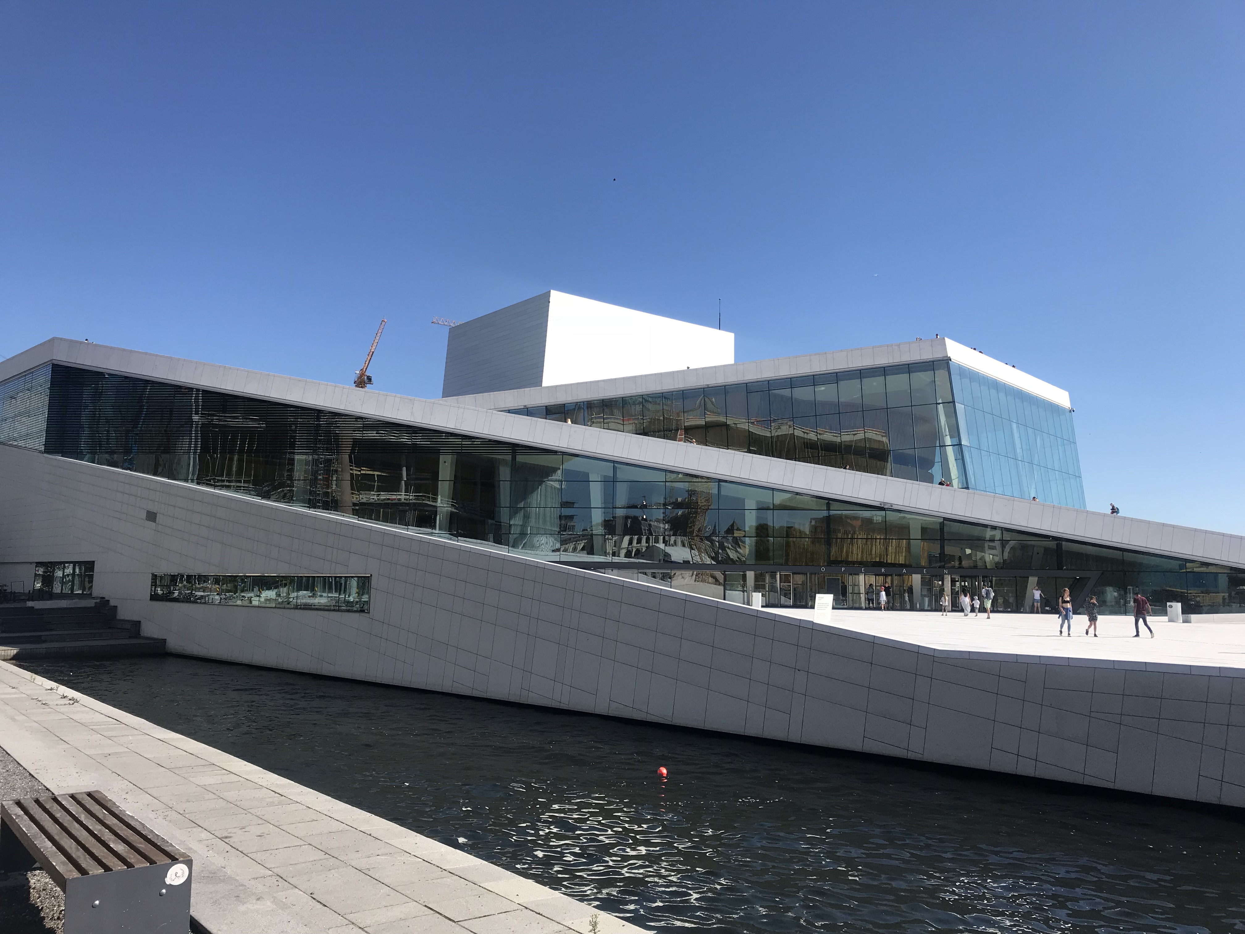
Oslo Opera House — Walk right up!


IMG_0402
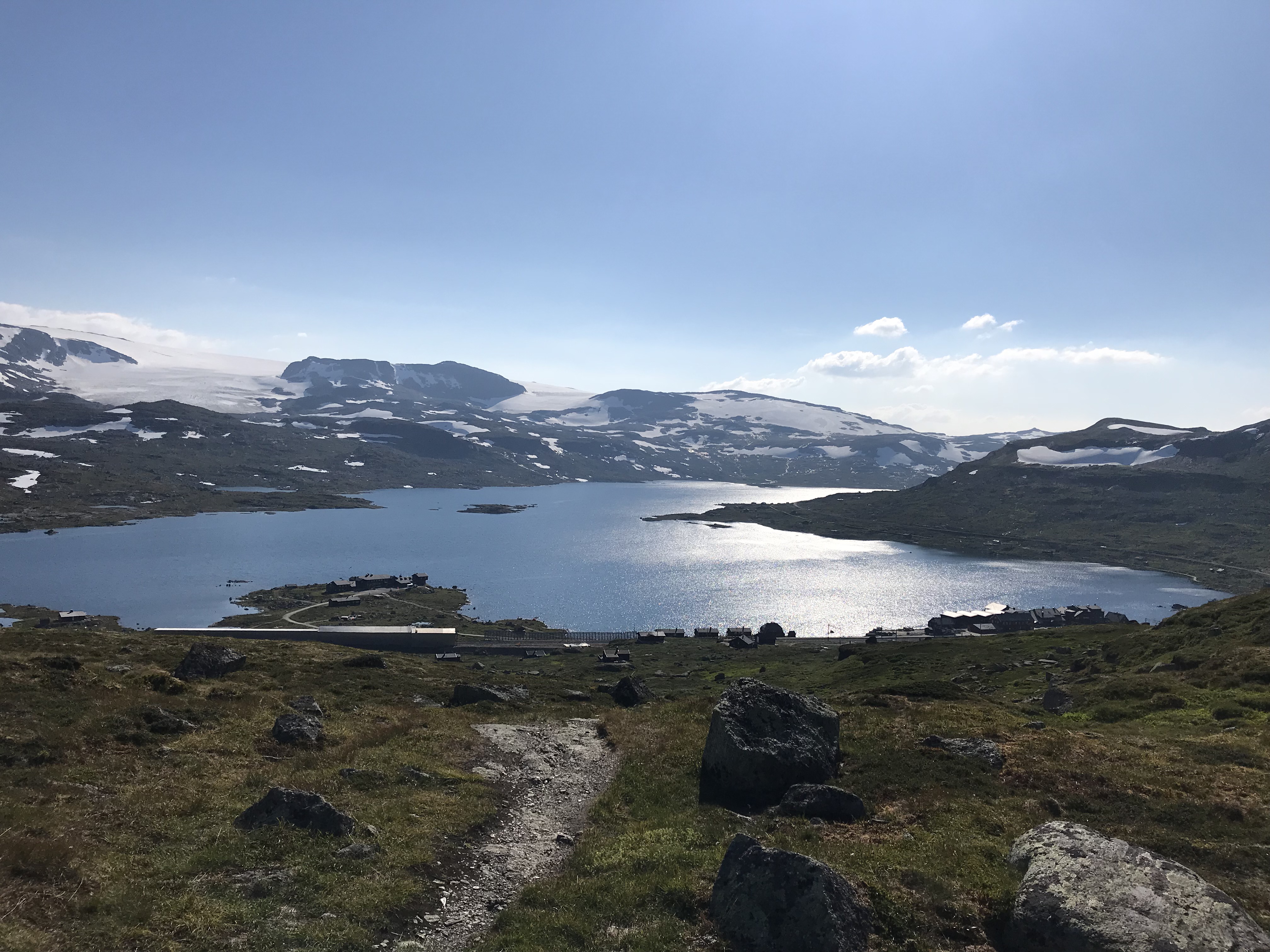
Hiking above Finse

IMG_0667
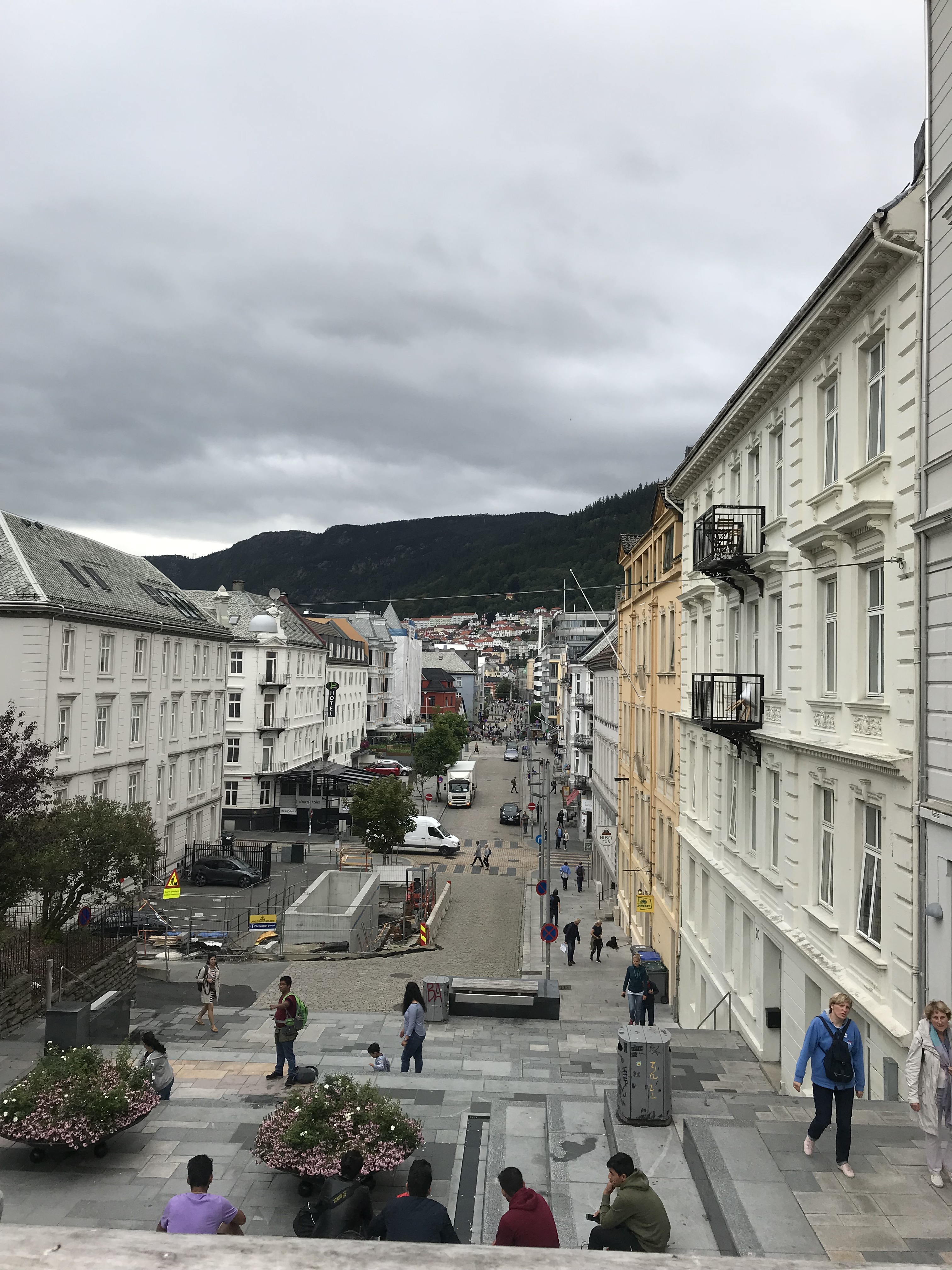
Bergen


Blue Marble Travel

Oslo Public Transit

General Norway Tourist Info

Rallarvegen — Mountain Biking trail alongside railway

Quebec Bike Tour –Eastern Quebec and excursion into Quebec City

Here’s a bike tour I’m tentatively planning for the summer of 2019. Three days of biking in eastern Quebec, cross the river by ferry over to Quebec City, spend two days in the city, cross by ferry again and bike back to our cars. There’s also the possibility of biking on the northern side of the St. Lawrence and circling back to Quebec City each day.  Points of interest for these two loops days include Montmorency Falls and Ile d’Orléans. This is a work in progress; the map may change, but any changes I make will be reflected on the map on this blog.


Quebec Route Verte — Signed Bike Routes — Official website

Chaudière-Appalaches Tourism website

Bas-St. Laurent Tourism website

Eastern Townships Tourism website

Centre du Quebec Tourism website

Charlevoix Tourism website

Mauricie Tourism website

Quebec Tourism website (for all of Quebec with links to each specific region)

Quebec City Tourism Website

Quebec City Blog entry

IMG_2049
Montmorency Falls — just east of Quebec City

Philadelphia — Escape to the Countryside — New Hope

New Hope is a wonderful little town within striking distance of Philadelphia (and also New York). Good for a day or an entire weekend, New Hope has cute inns, good restaurants and art galleries in town. Further afield are some wineries and nice biking or walking along the river towpath (on the New Jersey side). Many of the restaurants in town are BYOB and you can grab some wine at one of the wineries or at a wine shop in New Jersey.

A little further to the northwest is Nockamixon State Park, where you can rent a boat.

The below map shows New Hope and the surrounding area. Have fun! And if you go, please post here and let us know how your time in New Hope was.


Bucks County Tourism Info for New Hope and Lambertville

Pennsylvania Tourism Info for New Hope

New Hope Chamber of Commerce

Delaware & Raritan Canal Towpath info (for biking or walking)