Philadelphia — Escape from Center City — Narberth

Another nice place to go if you’re in Philly and looking for a little more space is Narberth. Narberth is the second stop out from 30th St. Station on the Paoli Thorndale Regional Rail line and the train station is in the middle of Narberth’s super-cute walkable downtown business district. It’s an easy drive too, or you can bike out from the city as well.

Right next to the train station is a State Wine & Liquor store. Across the street is Le Petit Mitron, one of the best French pastry shops anywhere, including France.  Get there early to get the chocolate-almond croissants or call the day before and ask them to hold some for you. A few doors over is The Cheese Company, which also has sandwiches and other tasty items. A little way’s up the street is a bar called The Greeks and a craft beer shop next door called The Greeks Next Door. Pretty much everything you need for a picnic, and there’s a park down the street. And another quieter park a little farther away. And there’s a movie theater. You could make a whole day of it without going more than a 1/2 mile in one direction or the other. This is the perfect escape if you don’t have a lot of time, but need to get some fresh air.


Website for Narberth, including links through to many local businesses

SEPTA — Public Transit for the Philly area

Philadelphia — Escape From Center City — Mt. Airy Village and the Wissahickon

Philly is great city and has lots to offer, but sometimes you just need a breath of fresh air. Thankfully, Philly has plenty of that to offer, too. You can get to Mt. Airy and the Wissahickon section of Fairmount Park by train, bike or car. Once you’re there you’ll find a some cute cafes and restaurants and a beautiful park that will make you forget that you’re still within the city limits. Make an afternoon or a whole day out of a field trip to Mt. Airy, but be forewarned, if you want to get to Valley Green Inn for lunch or dinner, it is down a big hill from the village (and then back up a big hill, of course).

SEPTA — Philly Public Transit


IMG_0258
Hiking/Mountain Biking Trail above Valley Green

Bike Tour Northeast from Quebec City to Gaspé Peninsula

The following map covers a bike tour from just across the river from Quebec City all the way up to the Gaspé Peninsula, the very far reaches of eastern Quebec. I’ve only done the part between Montmagny (about 40 miles east of Quebec City) out to Rivière du Loup, which is why this map is more detailed for that leg. Depending on how many miles you can cover in one day and how much time you have you can cover one segment of this map as a one week bike tour or spend all summer covering the entire map. Or cover part of the map each summer over the course of several summers.

IMG_7551

For the most part, this map follows Quebec Route Verte 1, a well signed bike route that mostly goes along the nice, wide shoulder of Route 132.

A note of caution: there is no signed bike route between Madeleine-Centre and Rivière-au-Renard at the far edge of the Gaspé Peninsula. I’ve connected these two using Google Maps biking directions, but the official Route Verte website shows this as a gap on the signed bike route. I’m not sure why this is. I have not been up this way. I do not know what the road looks like up here, whether there’s no shoulder or the road is very rough or both. If you’re wiling to risk it, you can circle around the entire Gaspé Peninsula and start heading back towards civilization without retracing your steps.

IMG_1295
Rivière-du-Loup — Auberge de la Pointe

The big square that starts and ends in Rivière-du-Loup is also not a signed bike route between Matapédia and Degelis (and also crosses over into New Brunswick and back into Quebec).


Quebec Route Verte — Signed Bike Routes — Official Website

Chaudière-Appalaches Tourism Website

Bas-St-Laurent Tourism Website

Gaspé Peninsula Tourism Website

Quebec Tourism Website (all of Quebec with links to each specific region)

Quebec City Tourism Website (for before or after biking)

Quebec City blog entry

Montreal

Montreal is the largest Francophone city this side of the Atlantic Ocean. And if you’re on the east coast of the US, it’s the closest major city that speaks any foreign language. It’s amazing to me how isolated we in the US are from this vibrant metropolis. There are a lot more people going between Paris and London on a daily basis than there are between New York and Montreal. Of course, they’ve got a high speed train…

I spent a few days in Montreal in 2016 after a bike trip in the Laurentian Mountains, on the P’Tit Train du Nord rail-trail and it could be done before or after any of the Quebec bike tours I’ve posted on this blog.

fullsizeoutput_122a
Old City Montreal

If you go, tour historic Old Montreal by the waterfront, run or walk around Mont-Royal, take a day trip by bike to the southwest suburbs, visit the Jean Talon Market, go shopping for outdoor recreational equipment at Kanuk or Mountain Equipment Co-op (MEC) and don’t forget to eat plenty of good food from a rich variety of cultural backgrounds.

Quebec Bike Tour — Laurentians, Northwest of Montreal

Here’s a bike tour of the Laurentians that I took in 2016. We stayed mostly on Le P’Tit Train du Nord, a rail-trail, so navigation was easy. You’ll want to get off the rail-trail in a few spots to visit towns that you would otherwise bypass. You may also want to get off the rail-trail in other places because the rail-trail does get to be a bit boring after a while.

IMG_1645
Gîte de la Gare at Saint-Faustin-Lac-Carré
IMG_1646
The ski village at Mont-Tremblant

The P’Tit Train du Nord also has an official transportation provider for you, your bike and your luggage if you so desire.  This makes logistics really easy. One call (or email does it all). They also rent bikes and panniers, so you don’t need to bring your bike if you don’t want to. One friend rented a bike and was provided with a nice Marin hybrid. If you’re using the baggage transfer service, make sure to weigh your bag before you go. They weigh the bags right as you arrive and will charge you if your bag is overweight. (2.2lbs = 1kg).

L’Autobus Le P’Tit Train du Nord — Transportation Services

Info on the rail-trail — Official Regional Tourism Website

IMG_1647


Here’s the route sheet I created to go with the map.

MapShare Petit Train du Nord Route Sheet

Welcome to MapShare

Welcome to MapShare!

MapShare is the site to come to for help planning your next trip. We will be posting maps of all sorts of interesting places around the world. You can copy any of our maps to your own account and then add or delete items as you like. Use our maps as a base for your travel planning and finish up with a custom map that you’ve catered to your own interests.  I hope you find these maps helpful and I hope they inspire you to explore new places.

We encourage you to travel to new places, meet new and different people and try out all sorts of food and experiences.

How to create your own custom map:

I’m a big fan of Google My Maps, which is where all the maps on this blog come from. You can create your own map by going here: https://www.google.com/mymaps. If you’d like to share your map on this blog, you can leave a comment to this post with a link to your map and I will add it in.  When setting up your map, make sure to go to the Legend on the left, click on “Share” and set it to “Anyone on the internet can find and view.” Otherwise nobody will able to see your map except you. If you want to set up a map with certain items that you don’t want made public, create a public map first, make a copy of it, set the copy to “Private” and then add in your private items (address of a friend’s house where you’ll be staying, for example).

If you like one of the maps you see here, but would like to add to it (or even take out things that don’t interest you), you can click in the right top corner to “View Larger Map”, then click on the legend on the left and copy the map. Once you make your own copy you can edit the map as you see fit.

You can also add new places to your map while traveling. In my experience, editing a Google Map on a mobile device is very awkward. An easier way is to save the location within the Google Maps app by pulling down the legend on the left side, going to “Your Places”, then “Saved” and then saving the location there either under “Favorites” or create a new category such as “Miami Beach”. When you get home you can add these locations to your map and then they’ll be there for when you go back.

How to use these maps offline:

The maps I am posting here can be copied and saved to your own Google account and then you can work on them there. I highly recommend using a desktop or laptop computer for this and not a smart phone. Once you have your map set up just the way you want it, the last thing you will want to do before heading off on your voyage is to download an offline version of your map to your phone or other portable device.

Here’s how to do this:

  1. Download to your phone an offline mapping app. If you have an Android phone get the app called Locus and if you have an iPhone the app you want is called Galileo.
  2. Then once you have this app, zoom in to the area where you will be traveling and download the street map for that area. You may need to download several maps depending on how much terrain you will be covering. Make sure you have all the maps you need before going away.
  3. Then access the online version of the map in your phone’s web browser (not in the Google Maps app). Open the map legend (the button to do this is on the left, near the top). In the upper right corner of the map legend, there are three vertical dots that open up to a menu. Open this menu and one of the selections is “export to KML/KMZ file”. Do that and then your phone will ask you if you want to open the file in Galileo/Locus. Yes, you do. It should load all the points on your custom map into your offline map. This is great because then the map will work even if you don’t have wifi, will use less battery power, will load faster and you won’t need to use your cellular data/international roaming data.
  4. Now you’re ready to travel with a custom map that has just the points of interest that actually interest you and will work anywhere (assuming your smart phone is GPS enabled, which most are).

Help with Mapping and Travel Planning:

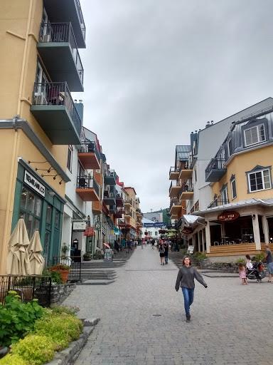
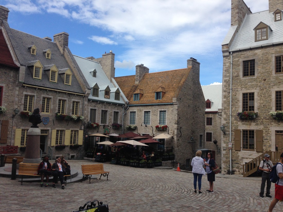
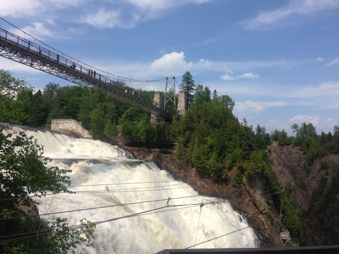
Do you need help with your travel planning or creating a map? Send us an email to info(at)mapshare(dot)us and we’ll do our best to help you out. We’re particularly knowledgeable about traveling in France and in Quebec, but we can help you out with mapping any trip.

A Note About Sources:

I’ve compiled information on these maps from various sources, including, especially, my own experiences. Other sources of information include the New York Times, Michelin Guides, The Rough Guide, DK Eyewitness guides, Rick Steves, Let’s Go and various publications issued by regional tourism bureaus.

The phrase “Found on Map”, which you’ll see on various map entries, indicates a point that caught my interest while I was  zooming in and looking around on the map and I have no further information about it at this time.

I have made every effort to give credit where credit is due. In many cases I use abbreviations to indicate where I first learned of a point of interest. If you have a question about where certain information comes from please leave a comment and I’ll get back to you.
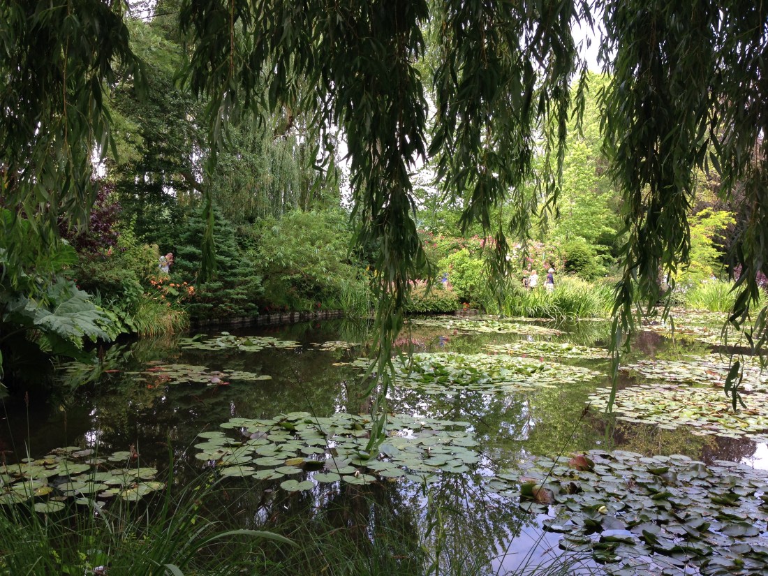
Bike Tour of Southeastern Quebec

In 2017 I did this bike tour of Southeastern Quebec with five friends. We biked 253 miles in six days with one day of rest in the middle, when we stayed in the city of Trois-Rivières for two nights. A few of us went kayaking that day.

IMG_7692


This map gives you everything you need to duplicate our Quebec Bike Adventure. Also attached here is the route sheet that I created to go along with the map.


SE Quebec Bike Tour Route Sheet (PDF)

If you’d like to shorten the loop a little bit and simplify the logistics, you can skip crossing the river over to Trois-Rivières (which requires a shuttle that is explained in detail in the route sheet) and instead spend a night or two in Bécancour or elsewhere. By doing this you miss out on the cool city of Trois-Rivières, but you also eliminate the need to take the bike shuttle across the Pont LaViolette.

Here are some other helpful sites that go with this map:

Trois-Rivières Tourism

Quebec Tourism Info by Region — The two regions you are in for most of this bike tour loop are Montérégie and Centre-du-Quebec and you skirt Eastern Townships and Chaudière-Appalaches. If you cross the St. Lawrence river over to Trois-Rivières you will be in Mauricie and if you bike towards Montreal on the north side of the river you’ll be in Lanaudière. There’s plenty of info on this website, but you can click through to go to websites for each region (where you can request that they mail you even more info, including cycling-specfic maps).

Quebec City

I visited Quebec City in 2015 and again in 2017. It’s a small, but really beautiful city with lots of historical significance and plenty of modern attractions too.

IMG_2095
Old City Quebec

In 2015 I stayed at the Hotel Manoir Victoria and in 2017 I stayed the Monastère des Augustines. I recommend either one. They’re very close together on the northern side of the old city, very well located. The monastery is not ideal if you’re traveling with children as breakfast is taken in silence.

If you like live music in the summer, check out the Edwin Bélanger bandstand at the Plains of Abraham, a little bit west of the old city walls and up above the St Lawrence River. It’s close enough that you can walk out there. Your best bet is to walk out there earlier in the evening, have dinner in the newer section of town and then walk over to the bandstand.

Also not to be missed is Montmorency Falls, about 20km east of town. If you’re arriving by car earlier in the day, consider going there first and then coming back into town.

IMG_2043
Montmorency Falls

Other recommendations for restaurants and sites to see can be found within the map.

Day & Weekend Trips from Paris

If you’re in Paris for a longer period of time you may find that you want to get out of town and visit the countryside. There’s plenty of options available. This map includes several possibilities for day and weekend trips from Paris. The most complete section of the map is for Giverny, which is where you will find the Fondation Monet, Monet’s home and gardens.

I was at Giverny in 2014. My time in Giverny and the section of my map devoted to Giverny was inspired by this article in the New York Times.  “Finding Solitude at Monet’s Gardens”

If you go to Giverny, do what the article suggests; be the first ones in the door when the place opens. Then visit the house immediately before a line forms for the house. Then you have as long as you like in the gardens. The gardens close to the house are called the “Clos Normand”, a traditional Normandy-style garden. Across the street and accessible via tunnel is the Japanese Garden and Japanese footbridge. If it it feels like you’re walking through a Monet painting it’s because you are.

IMG_0629
If it feels like you’re walking through a Monet painting it’s because you are.

Buy tickets in advance online. This lets you cut the line, although if you’re there early there won’t be much of a line. Buy the tickets online anyway. And try to visit on a weekday if you can. Here’s the Monet Foundation’s website.

Also at Giverny is the Museum of Impressionsism, which unfortunately was closed for a change-over in exhibits when we were there.

A little further down the road is the town of Vernon, which has some museums, a cathedral and is overall a very cute place to hang out.

To get to Giverny, I recommend you rent a car and drive out the night before and stay overnight in Giverny. You can also take a train to Vernon and then a bus from there to Giverny, but you won’t have as much flexibility in getting around the countryside. You could also bike out from Paris, although I’ve never done this. You could probably do that as a four day weekend or as the first leg on a longer bike tour. If you do this, please write a comment here and let us know how it worked out.

The map shows you some other places near Giverny and some other places you can get to for a day or weekend trip from Paris.